UN
86 Church Road
£ 74,000
Description
We don't have a Description for this property.
- Bedrooms
- 2
- Bathrooms
- 0
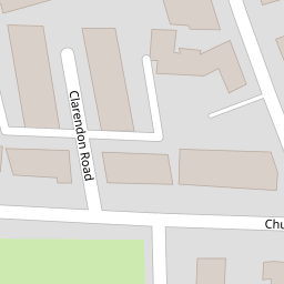
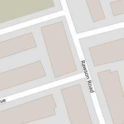
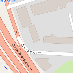
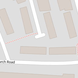

Leaflet © OpenStreetMap contributors
The heatmap indicates the level of crime in the area. The color of the heatmap indicates the crime severity and recency.
Metrics Year-on-Year
- Average area value
- 176,574.00 £Increased by 40.31 %
- Average area rental value
- 768.00 £/moIncreased by 3.78 %
- Est rental Yield
- 5.22 %Decreased by 26.06 %
- Crime Rate
- 8.00 %Unchanged by 0.00 %
from 125,845.00 £
from 740.00 £/mo
from 7.06 %
from 8.00 %
Nearby Schools
| Name | Type | Ofsted | Distance |
|---|---|---|---|
| Seaforth Children'S Centre | Children's Centre | 0.46 KM | |
| Rimrose Hope Cofe Primary School | Voluntary Controlled School | Good | 0.62 KM |
| Our Lady Star Of The Sea Catholic Primary School | Voluntary Aided School | Good | 0.97 KM |
| Thomas Gray Primary School | Community School | Requires improvement | 1.90 KM |
| Waterloo Children'S Centre | Children's Centre | 1.93 KM |
Images
Nearby Streets
| Name | Average Price | Average Sqft | Distance |
|---|---|---|---|
| Princess Way | £ 40,000 | 0 | 0.00 KM |
| Ash Grove | £ 0 | 0 | 0.00 KM |
| Claremont Close | £ 125,000 | 0 | 0.00 KM |
| Sandown Road | £ 0 | 0 | 0.00 KM |
| New Fort Way | £ 0 | 0 | 0.00 KM |
Nearby Transport
| Name | NLC | TLC | Distance |
|---|---|---|---|
| Seaforth And Litherland | 2250 | SFL | 0.97 KM |
| Waterloo (Merseyside) | 2133 | WLO | 1.86 KM |
| Bootle New Strand | 2195 | BNW | 2.36 KM |
| Bootle Oriel Road | 2239 | BOT | 2.70 KM |
| Blundellsands And Crosby | 2123 | BLN | 3.98 KM |
Nearby Listings
| Address | Price | Type | Score | Distance |
|---|---|---|---|---|
| Clarendon Road, Seaforth, Liverpool | £ 160,000 | BUY | 6 / 10 | 0.01 KM |
| Church Road, Seaforth, Liverpool | £ 160,000 | BUY | 7 / 10 | 0.08 KM |
| Barkeley Drive, Liverpool, L21 | £ 160,000 | BUY | Unknown | 0.09 KM |
| Barkeley Drive, Liverpool, Merseyside, L21 | £ 170,000 | BUY | 5 / 10 | 0.10 KM |
| 34 ELM DRIVE, SEAFORTH, LIVERPOOL | £ 75,000 | BUY | 5 / 10 | 0.15 KM |
Nearby Properties
| Address | Price | Distance |
|---|---|---|
| 86 Church Road | £ 74,000 | 0.00 KM |
| 76 Church Road | £ 128,000 | 0.00 KM |
| 82 Church Road | £ 109,000 | 0.00 KM |
| 88 Church Road | £ 57,000 | 0.00 KM |
| 84 Church Road | £ 112,000 | 0.00 KM |